RON HENGGELER |
July 23, 2017
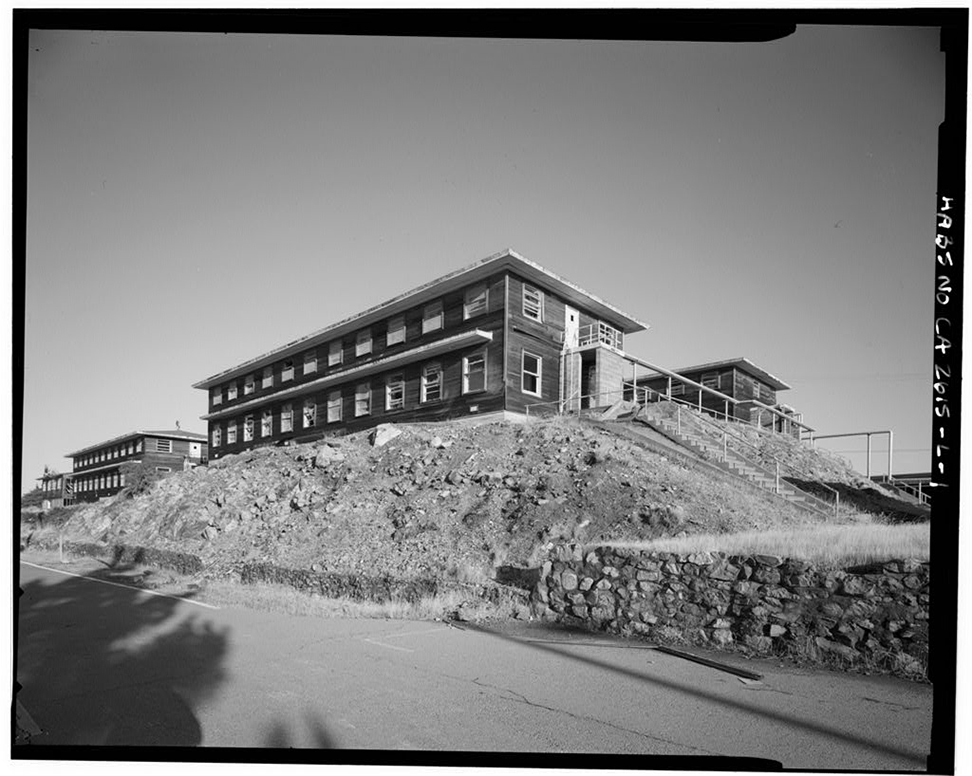
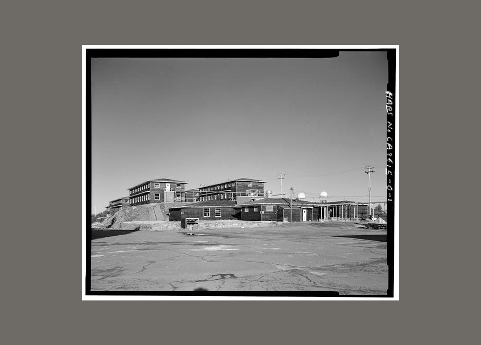
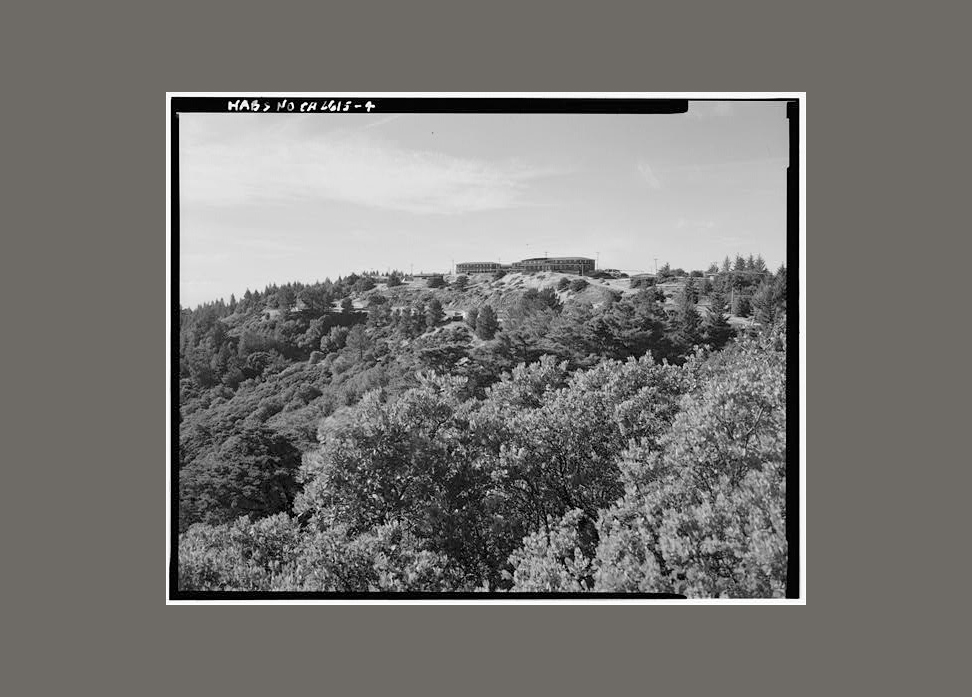
Photos of the ruins of a Nike Radar Missile Site on Mt. Tamalpais
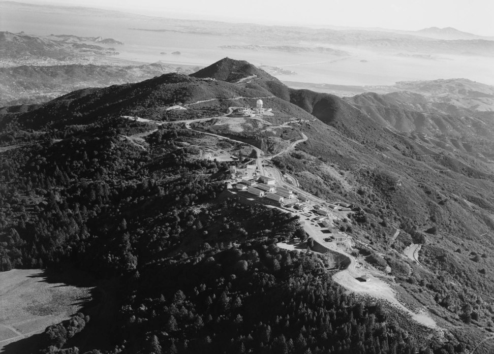
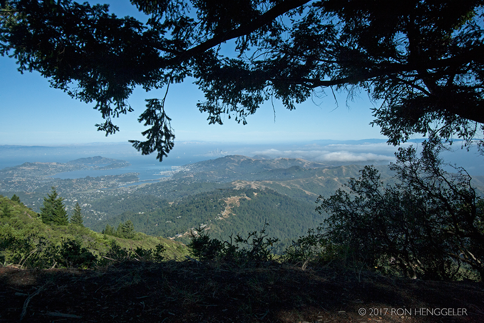
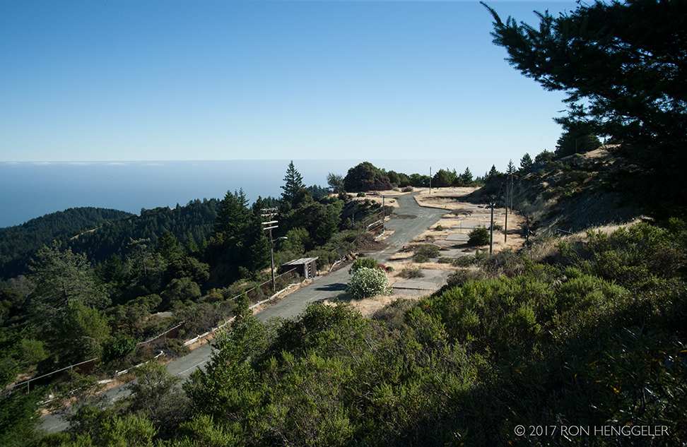
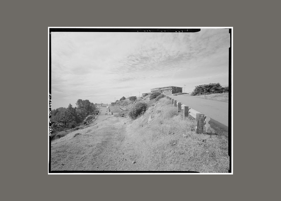
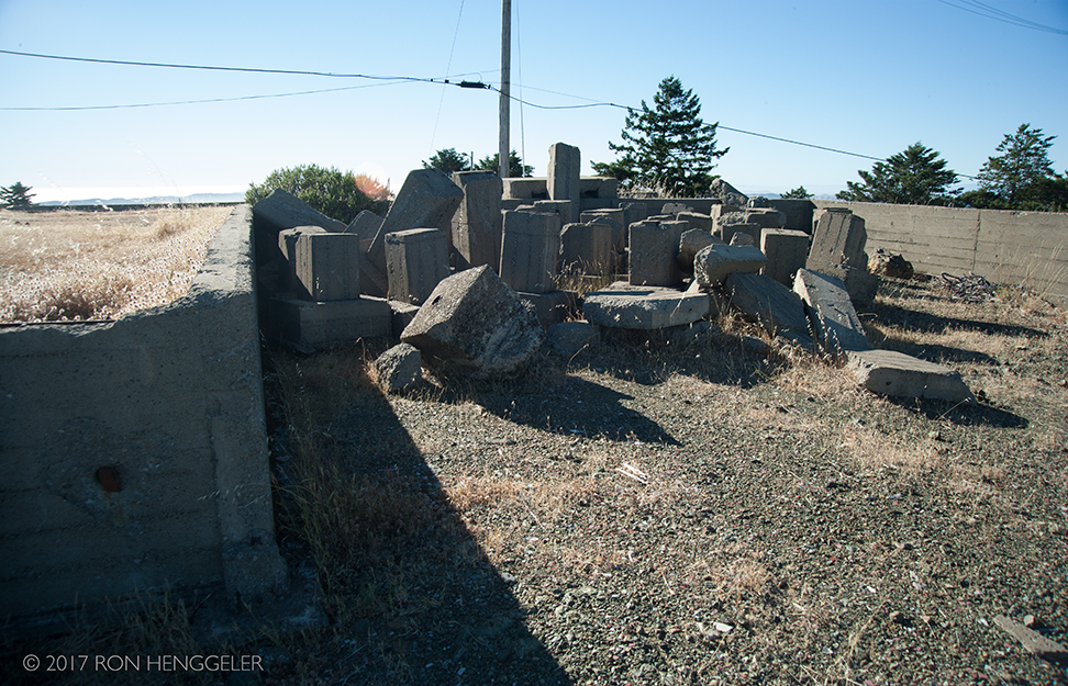
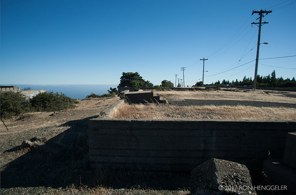
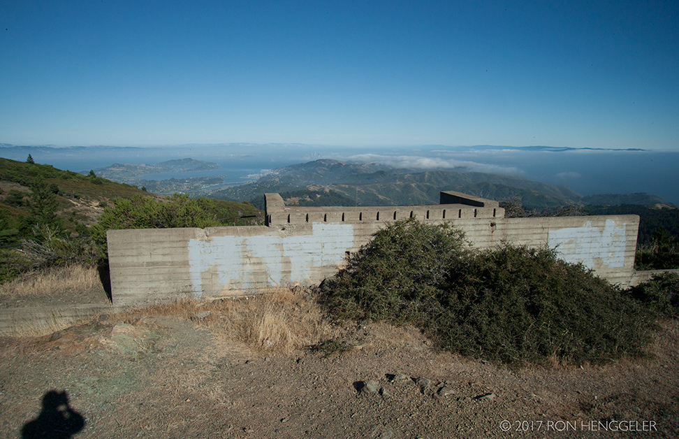
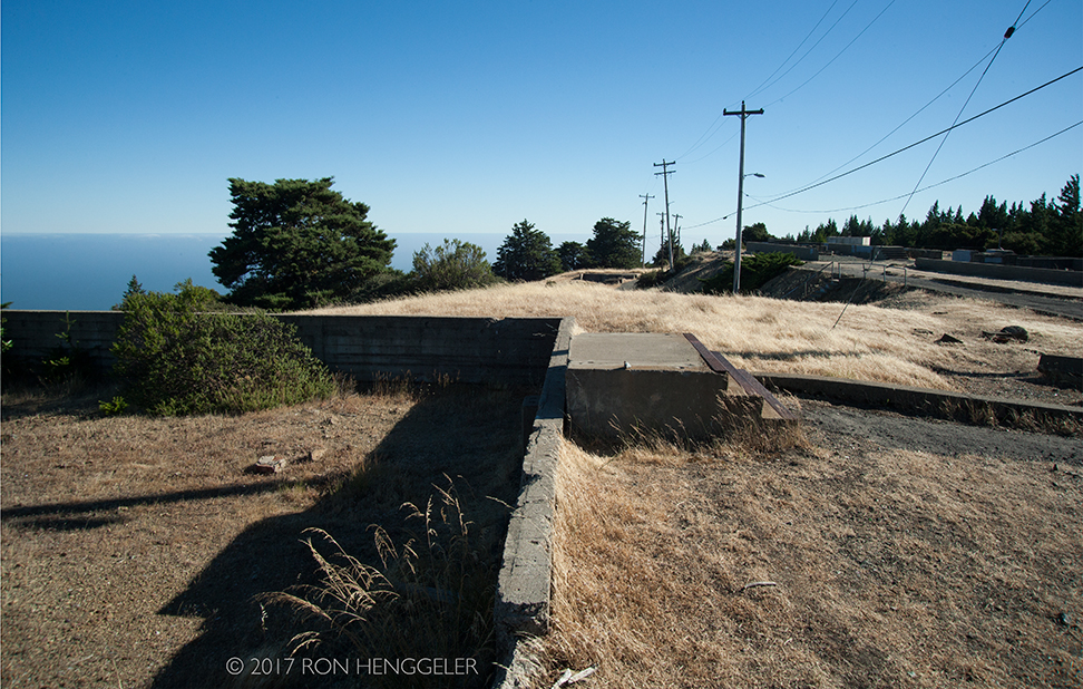
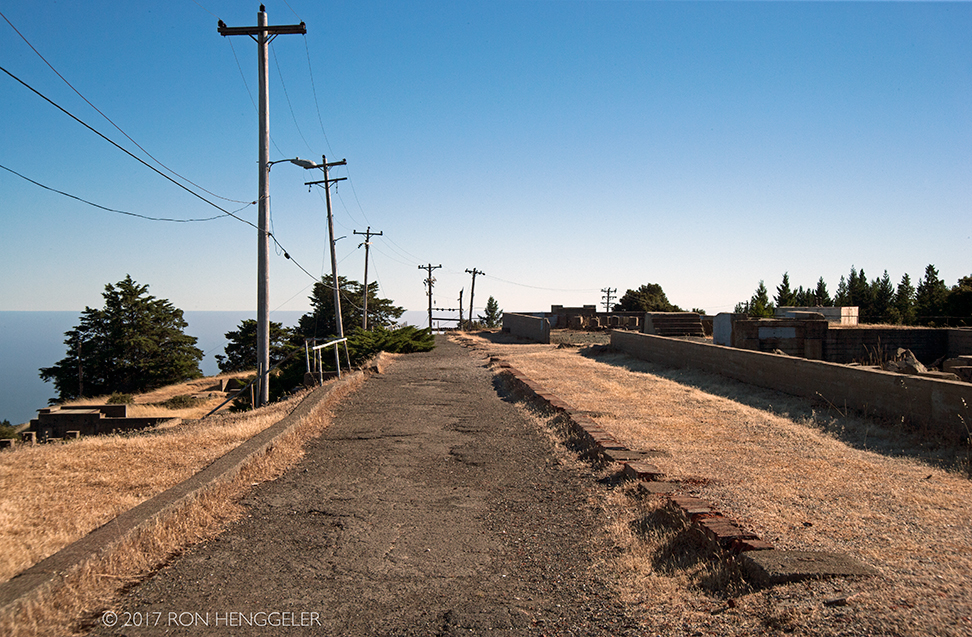
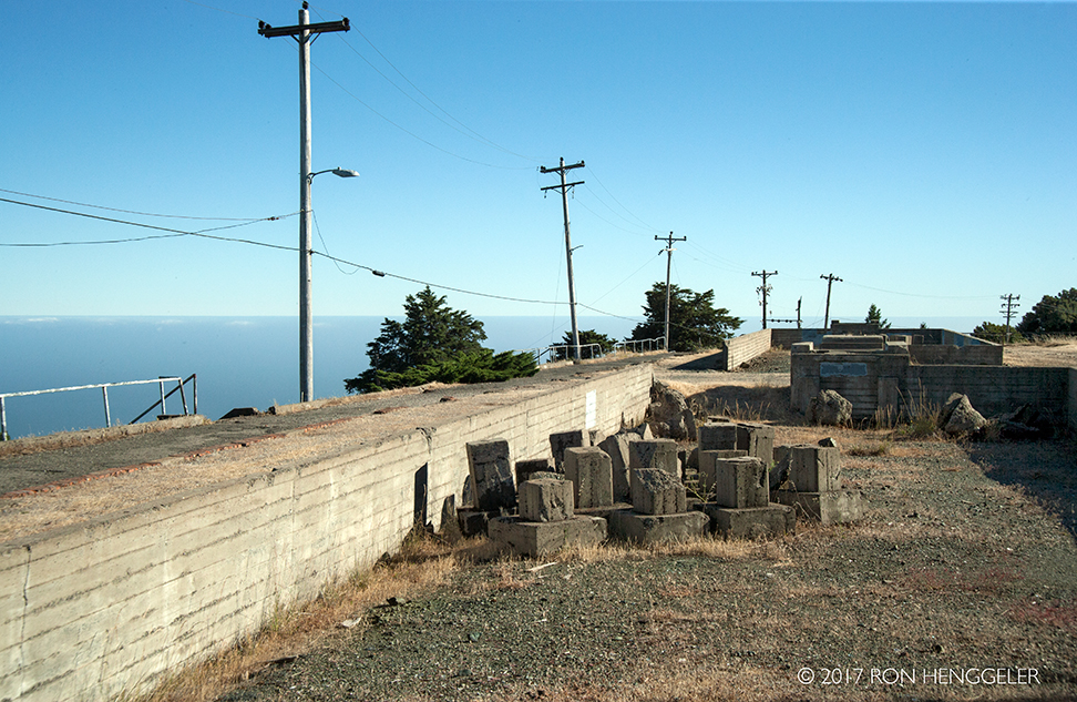
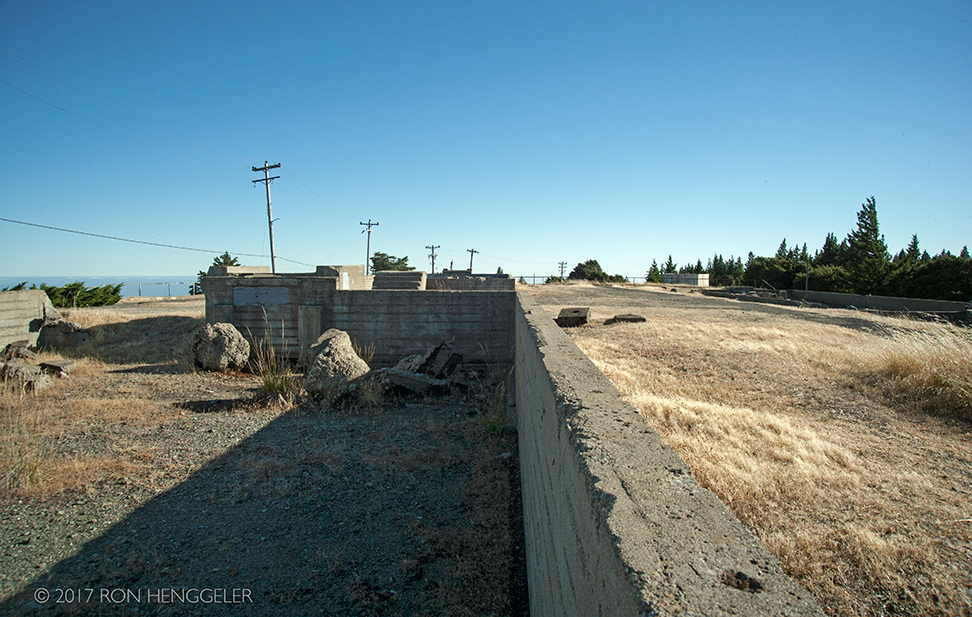
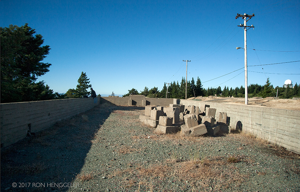
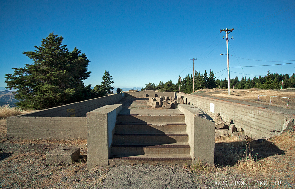
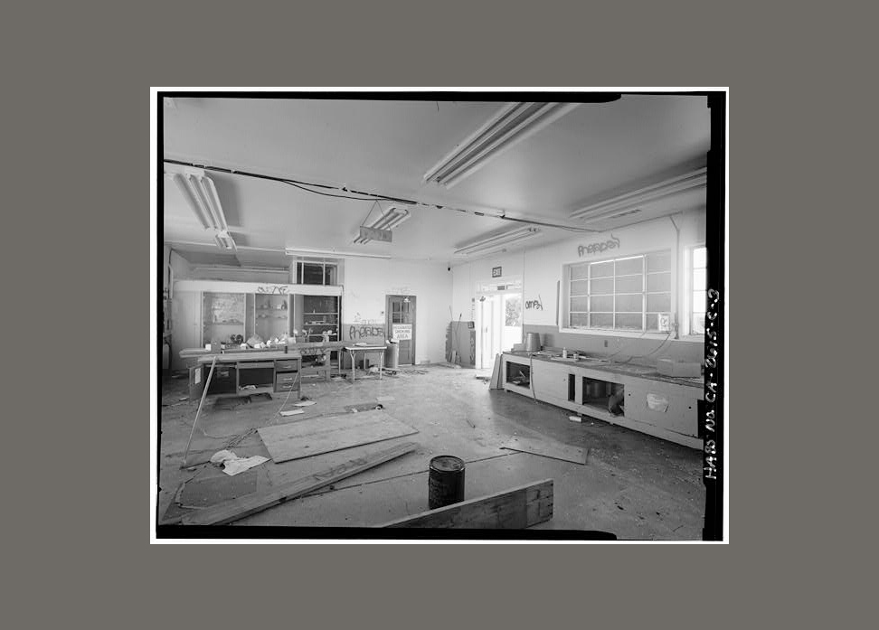
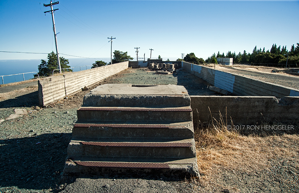
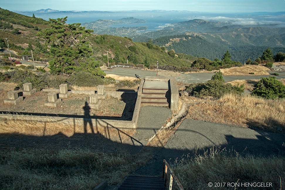
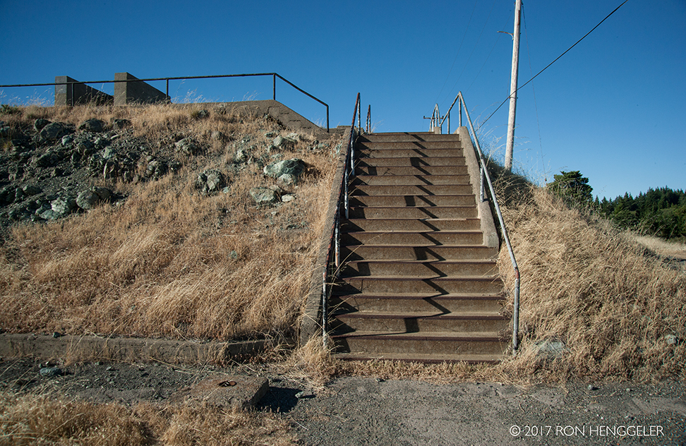
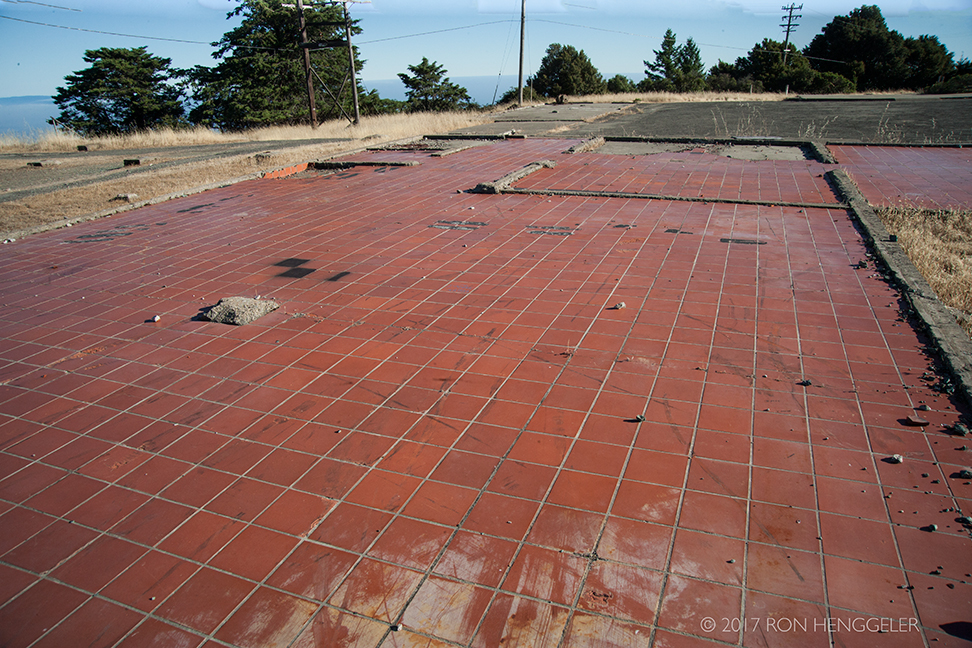
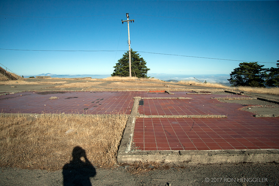
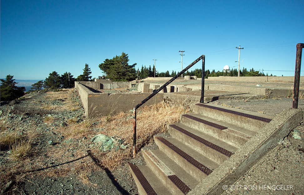
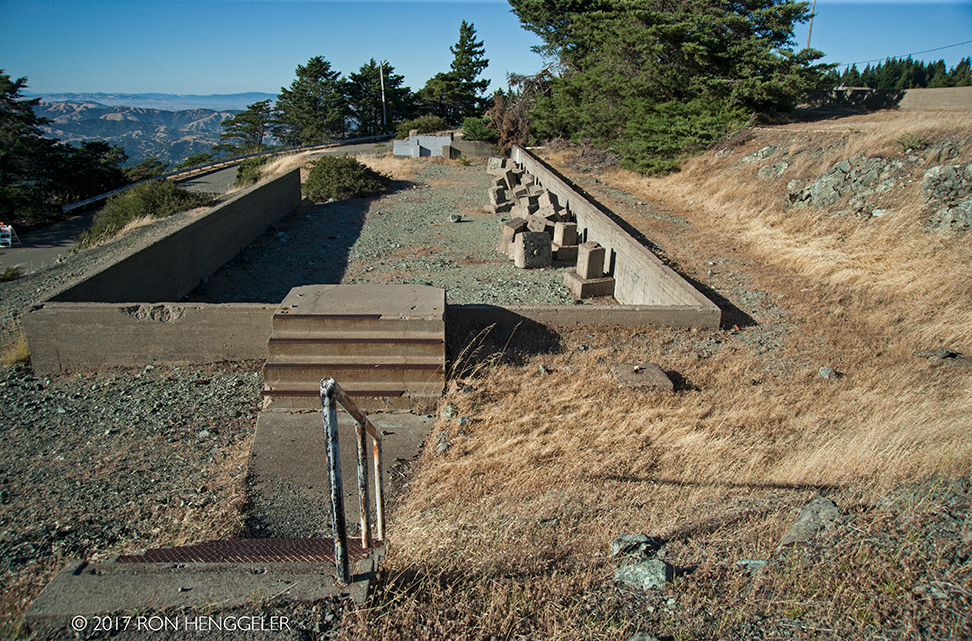
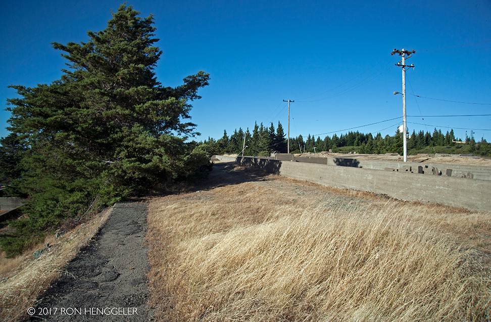
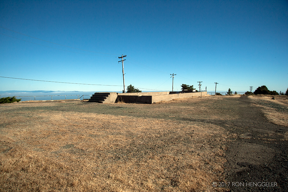
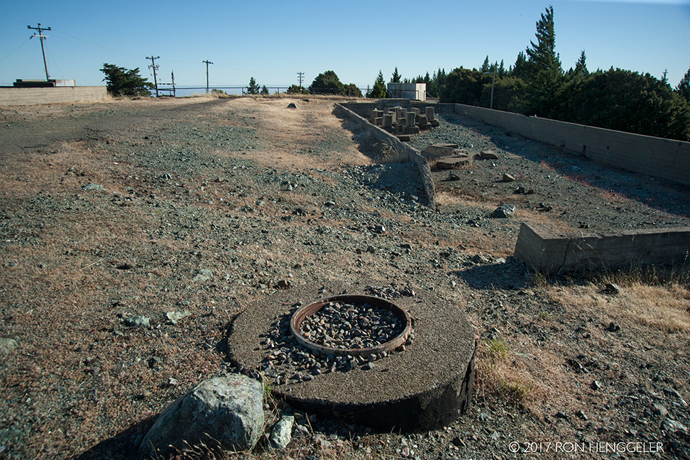
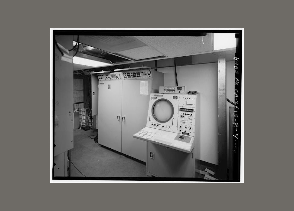
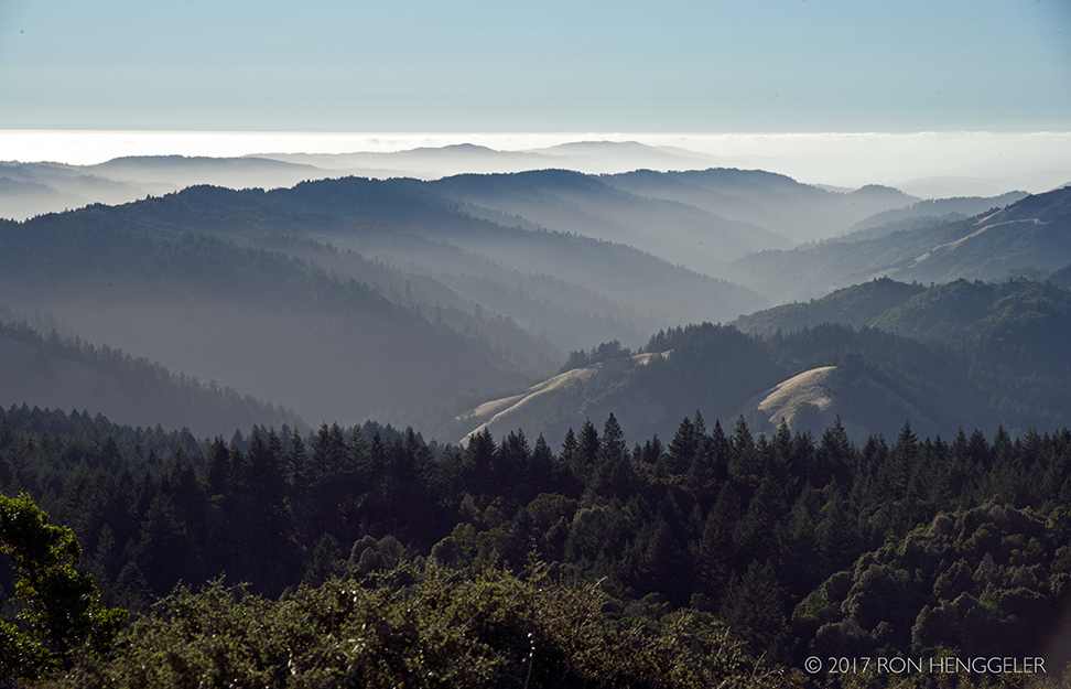
Dave and I recently spent an afternoon on Mt. Tamalpais walking around the ruins of the Cold War-era Mount Tamalpais Radar Site.
Here are a few of my photos along with more information about the site.
Also worth watching, is a short video about the history of this location, Invisible Peak.
|
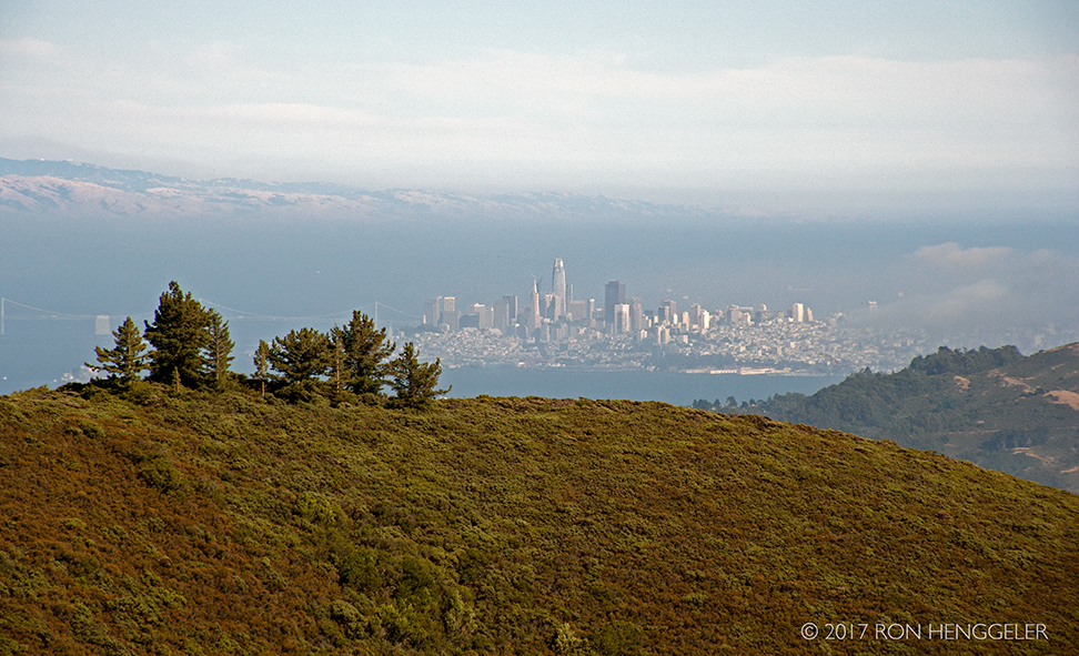
A view of the far distant San Francisco as seen from the Mount Tamalpais Radar Site B-78. |
A view of distant San Francisco with a 200mm lens, as seen from the ruins of the radar station. |
|
|
|
Mid-peninsula Openspace District Status report on the cleanup:
|
|
|
|
|
|
|
|
|
LOCATION AND BACKGROUNDMt. Umunhum, is located in the 18,000-acre Sierra Azul Open Space Preserve. At 3,486 feet, it’s one of the highest peaks in the Santa Cruz mountains and features spectacular 360-degree views that extend from the Monterey Peninsula to Mt. Tamalpais, and include much of the Bay Area and even the Sierra Nevada on a clear day. The word “Umunhum” means “resting place of the hummingbird”. The hummingbird is a central figure in the Amah Mutsun creation story. Including the hummingbird, this peak is home to 63 native plant and animal species. From 1957 to 1979, the summit was the site of the former Almaden Air Force Station where it served as part of a network of radar stations. The square concrete structure at the top of the peak served as the support for a large Cold War-era radar sail. The summit has been closed since 1980 when the base was decommissioned. In 2009, Midpen received federal funding to clean up the site. Midpen removed 3,000 cubic yards of hazardous materials, including lead paint, asbestos, fuel storage containers and PCB transformers, and deconstructed 13,680 tons on concrete, asphalt, wood and other materials, 97% of which were recycled or reused. |
|
|
|
|
|
|
|
|
|
|
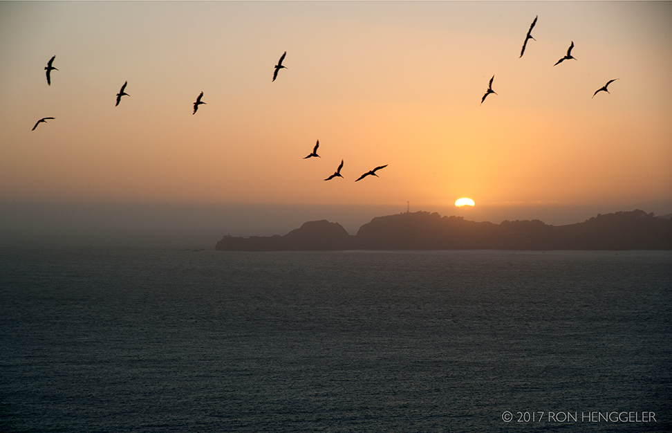
Upon our return to the City from Mt Tamalpais, a view of the setting sun, with pelicans, and Point Bonita as seen from Merchant Road in San Francisco's Presidio. |
Newsletters Index: 2020, 2019, 2018, 2017, 2016, 2015, 2014, 2013, 2012, 2011, 2010, 2009, 2008, 2007, 2006
Photography Index | Graphics Index | History Index
Home | Gallery | About Me | Links | Contact
© 2020 All rights reserved
The images oon this site are not in the public domain. They are the sole property of the
artist and may not be reproduced on the Internet, sold, altered, enhanced,
modified by artificial, digital or computer imaging or in any other form
without the express written permission of the artist. Non-watermarked copies of photographs on this site can be purchased by contacting Ron.