RON HENGGELER |
December 29, 2013
Point Reyes on Christmas Day
On Christmas Day, Dave and I started out early in the morning for a road-trip to Point Reyes National Seashore.
The weather was unusually pleasant with 70º and no wind. Here are a few of the images I made on the day.
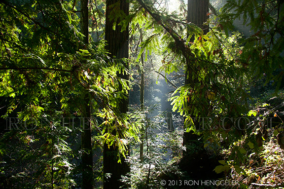
While on the Sir Francis Drake Blvd drive to Point Reyes, |
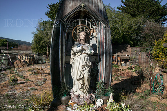
"Our Lady of the Harbor" by David Best |
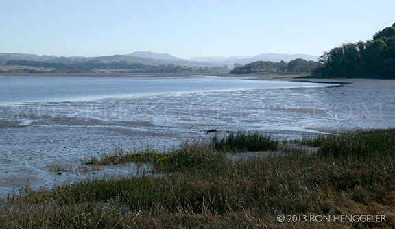
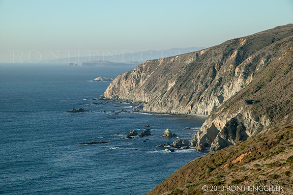
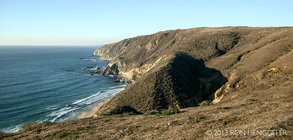
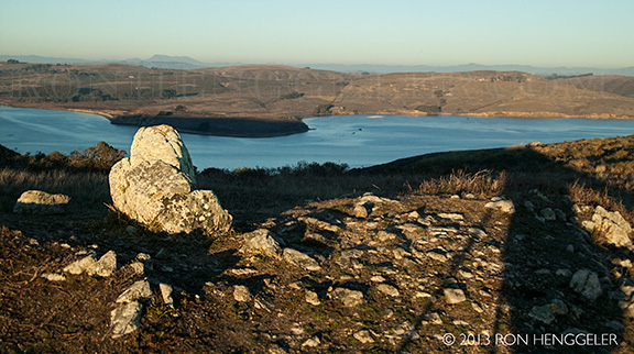
A view of Tomales Bay from near Inverness, with the Olema Valley on the far-distant horizon |
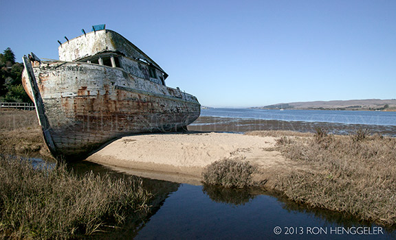
A beached fishing boat on the shore of Tomales Bay, |
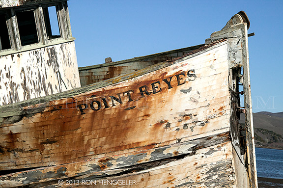
A detail of the old Point Reyes, |
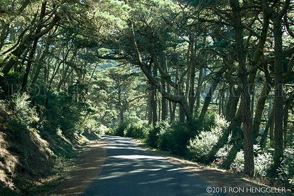
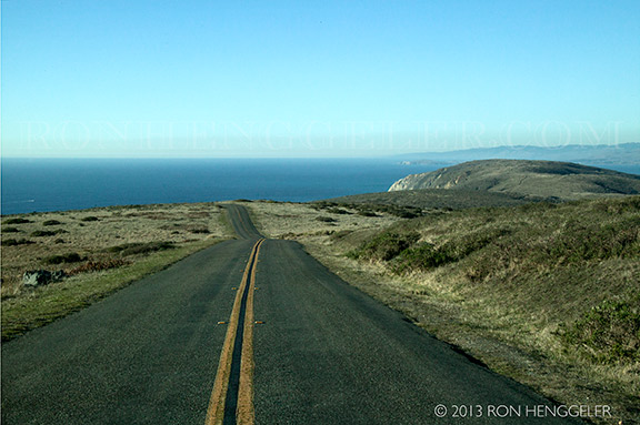
A view on the Mount Vision Road, |
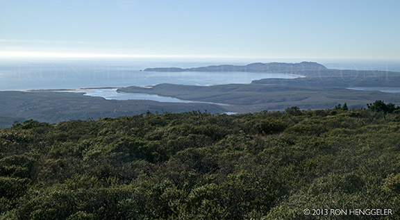
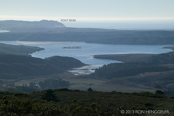
From the summit of Mount Vision |
From the summit of Mount Vision |
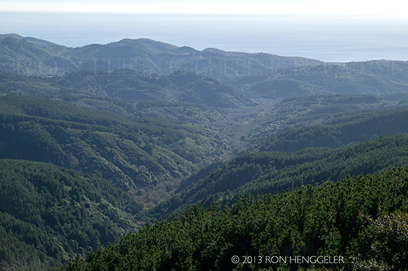
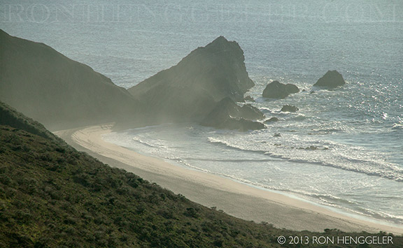
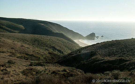
Glenbrook Creek drains to the ocean through this unnamed valley |
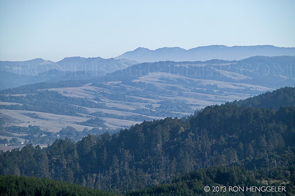
The far distant Mt. Tamalpais near San Francisco as seen from the summit of Mount Vision |
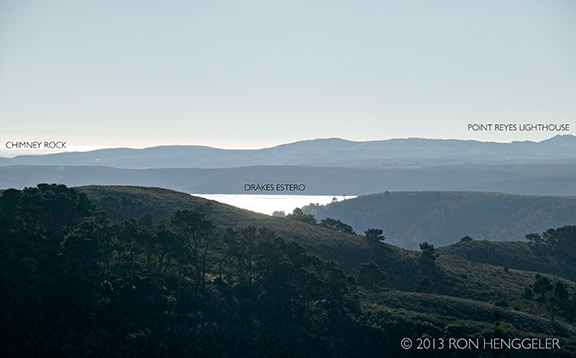
A view from the summit of Mount Vision |
A view from the Mount Vision Road, coming down from the summit |
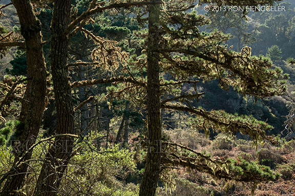
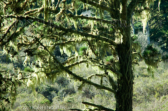
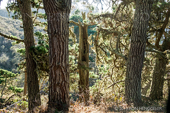
Moss covered trees on the Mount Vision Road |
A forest of moss covered trees on the Mount Vision Road |
Moss covered trees on the Mount Vision Road |
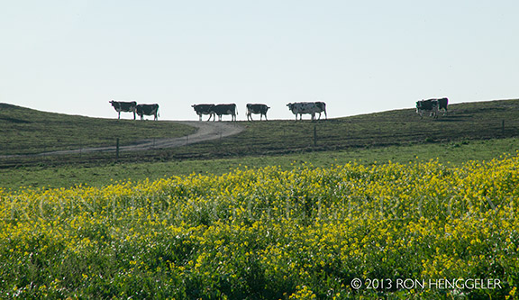
Dairy cows on the ridgeline in the Pastoral Lands at Point Reyes National Seashore |
Feeding-time for dairy cows in the Pastoral Lands at Point Reyes National Seashore |
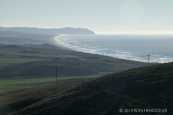
A view of the 30 mile-long Great Point Reyes Beach seen from the Pierce Point Road |
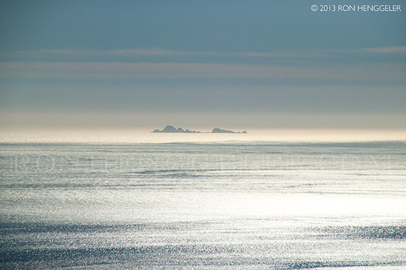
A view from the Pierce Point Road of the Tomales Point, and the far-distant Bodega Head on the horizon line |
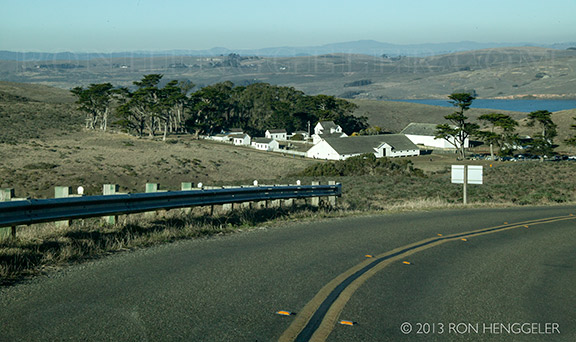
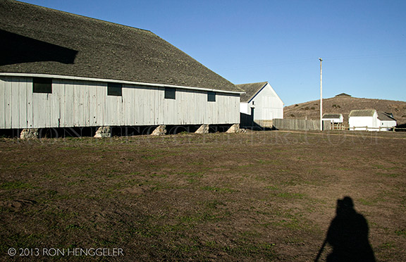
The Historic Pierce Point Ranch, |
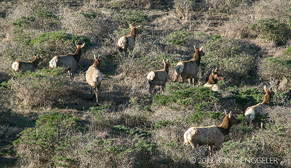
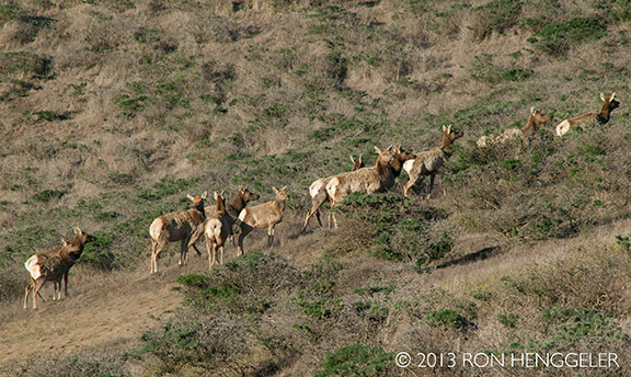
Tule Elk inside the Tule Elk Reserve |
Tule Elk inside the Tule Elk Reserve |
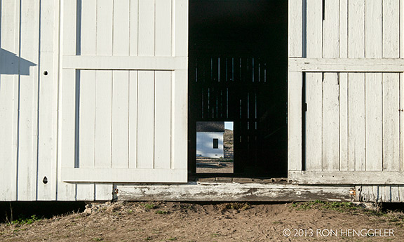
A view through the barn door at the Historic Pierce Point Ranch, |
The Historic Pierce Point Ranch |
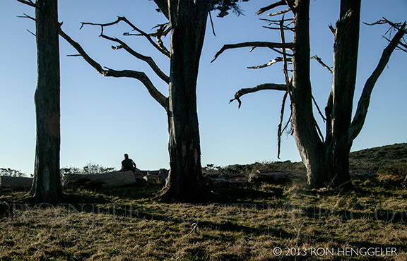
David among the wind-break trees that were planted in the 1860’s at the The Historic Pierce Point Ranch |
The Caldron on McClures Beach seen from the Tomales Point Trail with a 300mm lens |
The Caldron on McClures Beach seen from the Tomales Point Trail |
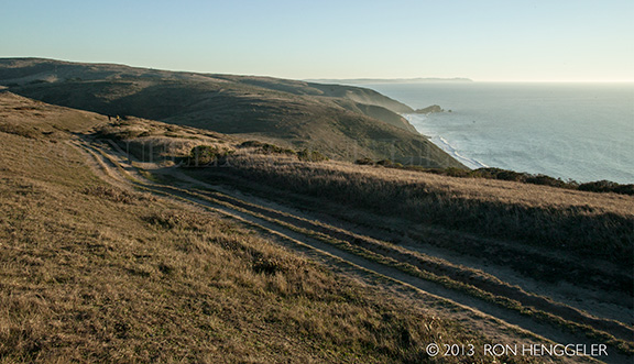
The view from the Tomales Point Trail looking northwest, |
The view looking northwest towards Bird Rock and the Tomales Bluff, seen from the Tomales Point Trail |
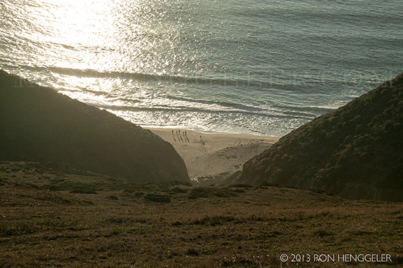
Beach-combers espied from atop the ridge, on the Tomales Point Trail |
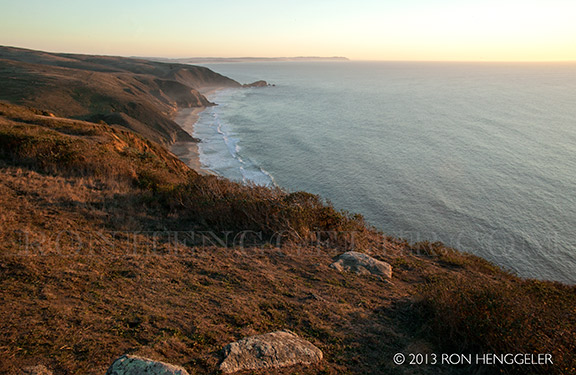
The view looking south from the Tomales Point Trail |
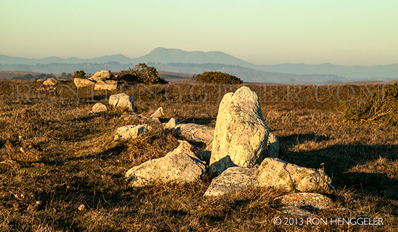
The end-stone in the line of granite stones |
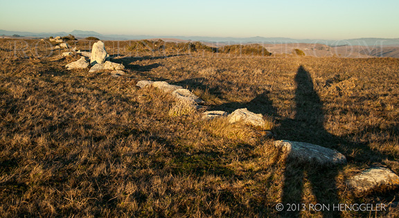
A view looking northeast along the 820 foot long row of granite stones along the Tomales Point Trail. |
A detail view looking northeast along the 820 foot long row of granite stones along the Tomales Point Trail. |
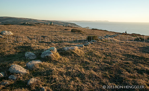
A view of the stones looking west. |
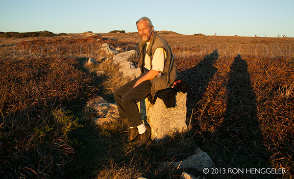
David sitting on the stones at their western end near the coastal cliff |
The remains of a young elk, its ribcage turned-back like the wings of an angel. |
In the golden light of the setting sun, the eye of a baby |
The view taken while standing over the remains of the baby elk |
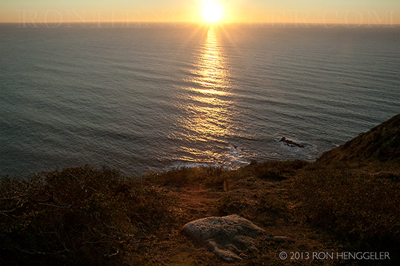
In the setting sunlight, a view of the final stone at the cliff’s edge |
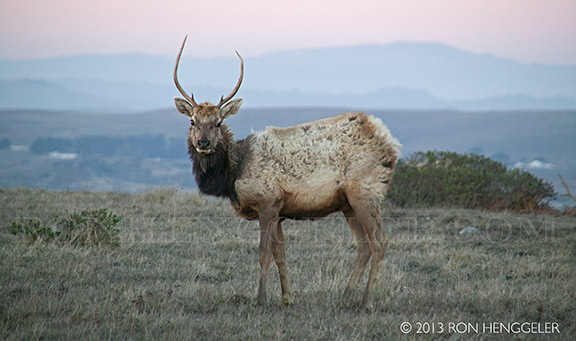
A young buck watches me, |
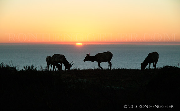
Elk cows and calves and the setting sun on a perfect Christmas Day |
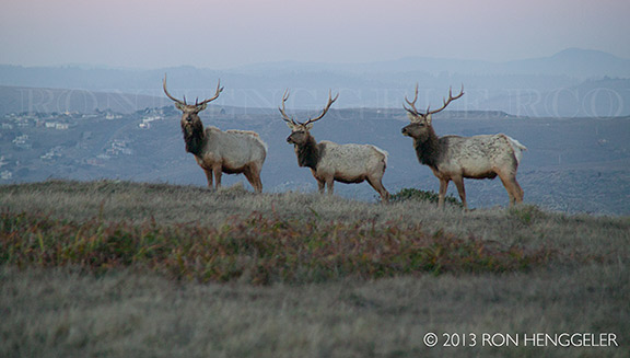
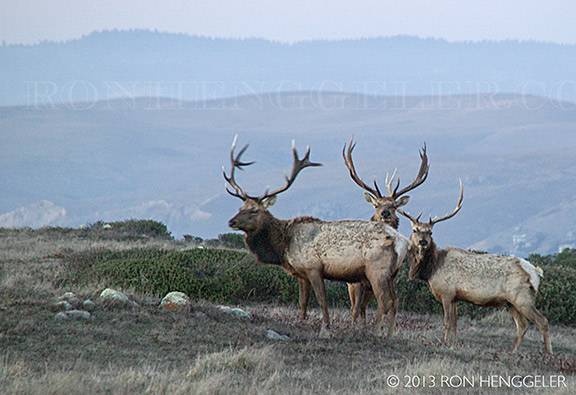
Three bucks watch me taking their picture, |
Three bucks watch me taking their picture, |
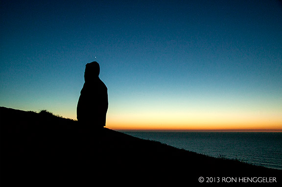
David and the planet Venus above his head after sunset, |


For more photos and information about Point Reyes, and the mysterious line of granite stones, go to my web site here.
http://www.ronhenggeler.com/Pt_Reyes2/PtReyesMasterIndex.html
Newsletters Index: 2015, 2014, 2013, 2012, 2011, 2010, 2009, 2008, 2007, 2006
Photography Index | Graphics Index | History Index
Home | Gallery | About Me | Links | Contact
© 2015 All rights reserved
The images are not in the public domain. They are the sole property of the
artist and may not be reproduced on the Internet, sold, altered, enhanced,
modified by artificial, digital or computer imaging or in any other form
without the express written permission of the artist. Non-watermarked copies of photographs on this site can be purchased by contacting Ron.